
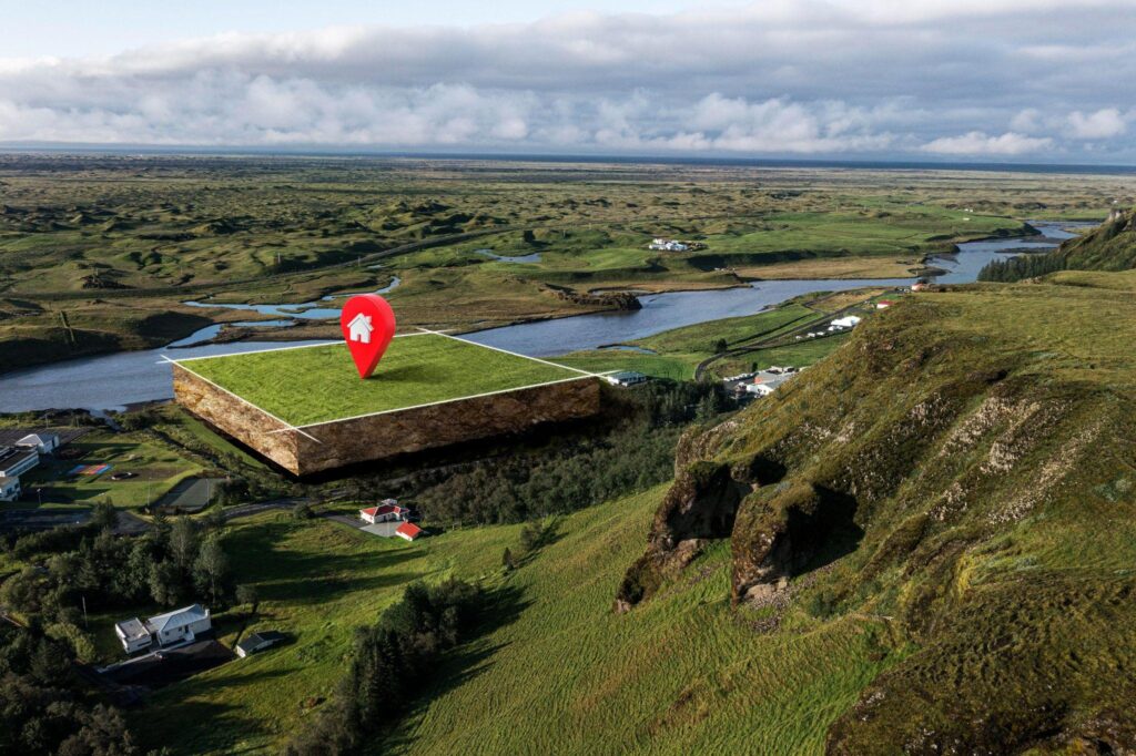
A site visit is no longer where a property check starts. It’s where it ends — and only after the detailed investigation of data that says the trip is worth taking. That’s the real shift happening in real estate and construction right now, and it has almost nothing to do with drones or clipboards. It has everything to do with current satellite imagery and the AI models built to read it.
Ten years ago, if you wanted to compare five parcels, you drove to five parcels. A developer eyeing a competitor’s build sent someone to walk the site in person. A property manager with a rental three states away booked a flight, or paid someone else to make the trip for them. Today anyone can open a laptop instead and use a real-time satellite view.
Why the Old Workflow Is Losing Ground
Physical inspection isn’t going away. It’s still a necessary process, but a bit lower in the checklist. Before visiting the site, you have a myriad of activities that will answer questions and give you insights much earlier than actually on your land plot.
For instance, you can order a drone survey. But here is the thing: they only sound cheap and easy before you price one out. Add up the FAA-certified pilot, the insurance, the actual flight time per site, and the price tag stops looking small — especially if you own one or two bigger land plots.
Initial site visits have their own drawbacks too. Travel days. Now try running that playbook across a dozen parcels in three different counties, all in one week. It doesn’t scale, and everyone doing this work already knows it. Satellite data doesn’t have that problem. One current satellite image, refreshed on a schedule, covers ground a drone crew would need a full day to shoot.
What Current Satellite Images Actually Show You
Modern platforms don’t just hand you a picture — they hand you a history. Compare a live satellite view of a parcel against archived images from two, five, or ten years back, and you can see:
How to Find Current Satellite Images of a Specific Parcel
Two tiers of sources cover most needs. The European Space Agency’s Copernicus program runs the Sentinel-2 satellites, which revisit most of the globe every five days at 10-meter resolution and publish the data for free. That’s plenty for spotting large-scale change but too coarse for a single-family lot. For that, commercial providers shoot daily at sub-meter resolution, for a fee. Analytics platforms — EOSDA’s LandViewer among them. It allows a user to pull up a live Earth satellite view of a target address without needing to know a resolution spec or a revisit rate.
From Pixels to a Price Tag
The imagery itself isn’t really the point. What matters is the AI sitting on top of it, turning a current satellite view into something an agent or underwriter can actually act on — comparable-property estimates, land-use classification, a risk score attached to an address.
By the way, about the real estate risks. First Street Foundation ran a national flood risk assessment in 2023 and found 14.6 million U.S. properties carried substantial flood risk. This number was roughly 70% more than what FEMA’s official flood maps account for.
CoreLogic’s 2023 wildfire report tells a similar story out west: about 2.6 million homes sitting at high or extreme risk. Neither number came from a clipboard. Nobody has the staff to survey millions of properties door to door and still call the data current — satellite-fed models are the only way to get there. Lenders and insurers already know this, which is why they pull satellite-based risk data before writing a policy or approving a mortgage. A real estate team that skips this step is walking into the negotiation with worse information than the bank.
Four Things This Actually Gets Your Business
What This Technology Doesn’t Replace — and What It Covers Instead
Satellites can’t spot a cracked foundation. They can’t tell you if the wiring behind a wall is unsafe. That’s not going to change — it’s just how cameras in orbit work, not something a software update will fix. But foundations and wiring were never the only things that matter in due diligence.
Satellite data can still tell you if a lot is empty, how far along a new build is, whether a house has a pool or solar panels that never showed up in tax records, and whether a property sits in a flood or fire zone. It covers a lot of ground before anyone needs to visit in person. Use it to check everything, and it’ll fall short. Use it to decide which properties are worth a visit, and it does exactly what it should. That’s already how the best teams are using it, and it’s not going back.